Steep Skiing: Terrain Identification and Navigation
|
|
Time to read 0 min
|
|
Time to read 0 min
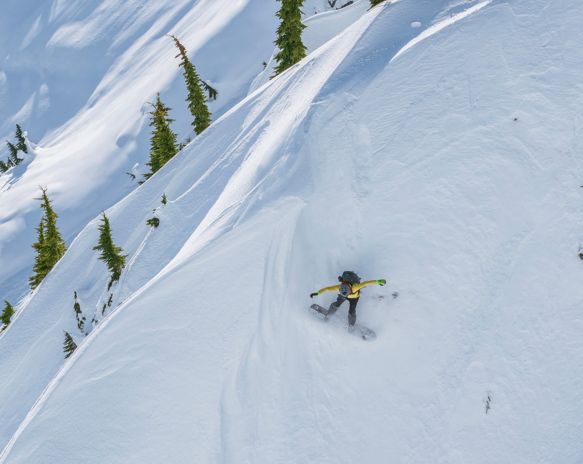
Using photos from our phones allow us to be sure we are in the spot we want. By connecting easy to identify landmarks such as unique trees or rock outcrops we can ensure we are dropping into the right spot. Acquiring a photo library takes time and foresight so you are able to execute when timing aligns.
The why:
✅ Ensures line selection
✅ Prevents unexpected surprises
✅ Manages uncertainty and risk
✅ Assists in pre route planning
✅ Allows direct in the field reference
Why Not:
🛑 Scale of the mountain is too large for small details
🛑 Photo is outdated or not representative of conditions
🛑 Lighting or angle could hide important features
🛑 Batteries could die or device gets lost
⚠️ There are many factors that go into riding new complex terrain. Fitness, weather, snowpack and ability are just a few. Perhaps most importantly our mindset has to align as well. Being able to process challenging scenarios and anticipate variables takes patience, experience, and humbleness. Because in the end we don’t have all the information.


